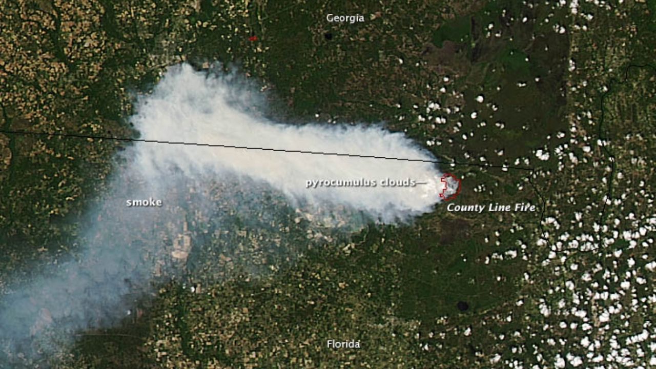
 For most of the past decade, forecasters have been able to use satellites to track these smoke plumes, but the view was only two-dimensional
Is that wildfire smoke plume hazardous? New satellite tech can map smoke plumes in 3D for better air quality alerts at neighborhood scale
SPACE.com - 9 Aug 2025 00:00
For most of the past decade, forecasters have been able to use satellites to track these smoke plumes, but the view was only two-dimensional
Share this Article
Recommended